Syntheti-scapeA Tour Guide by Mapping Sensorial Realities
This thesis begins with the discourse on the concept of "place" and how it might be re-presented by our current mapping tools. Its core reveals the dilemma we face when navigating the world through Google Maps — a tool that flattens distance, compresses scale, and substitutes its own algorithmic guidance for our embodied curiosity — and proposes a method to transcend that dilemma by introducing a sensorial second skin: a wearable that captures the heartbeat, the blink, the breath, and writes back into the map what visual tools cannot record.
Yi-Fu Tuan distinguishes space from place: space becomes place when it is endowed with the value of human experience, when memory and emotion attach themselves to a fragment of the world.1 Our current mapping tools are extraordinary at delivering space — coordinates, satellite imagery, walking directions, the closest dim sum — but they are not designed to register the slow accretion by which space turns into place.
If Google Maps can be read as a representation of place — its layers of street view, satellite, transit, business listings — then the question is not whether to use it, but what is missing from it, and what other layer might be added back. Syntheti-scape proposes that the missing layer is sensorial: an apparatus that records the body's response to the city and re-inscribes that response onto the map, producing a tour guide built not from algorithmic ranking but from a person's own thresholds of attention.
The Map as Place — Google Maps and the Compression of Scale
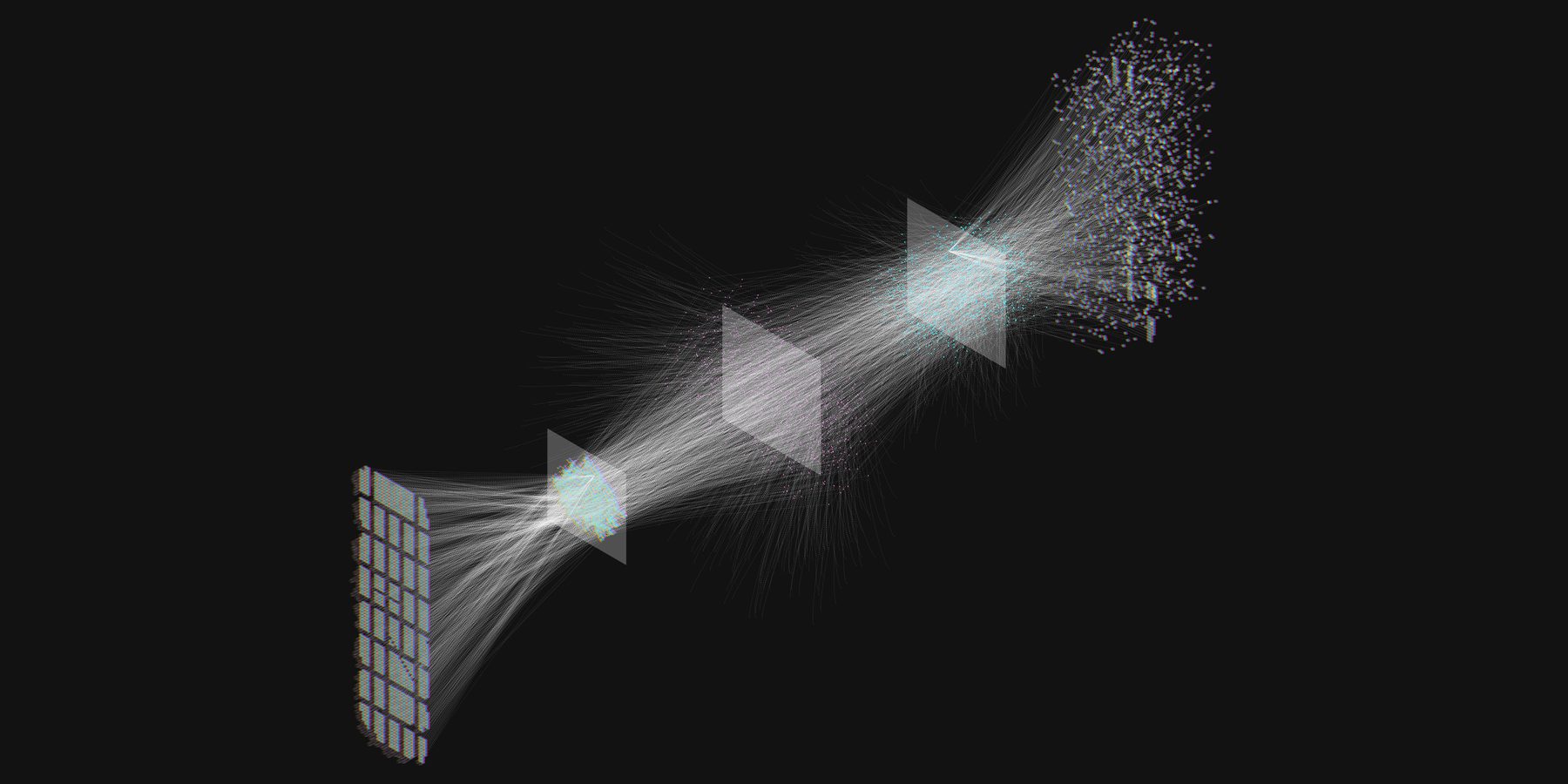
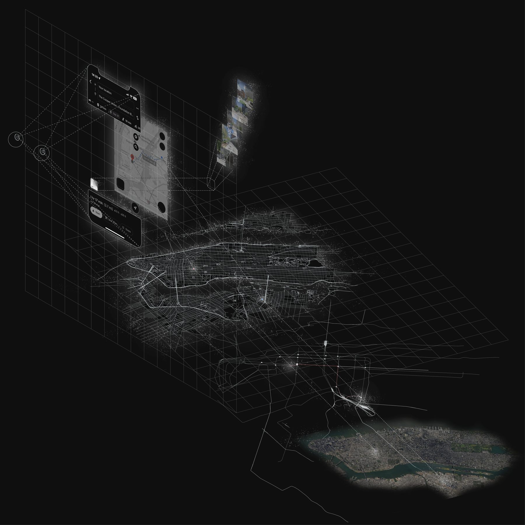
The diagram of contemporary mapping is no longer a sheet on a wall. It is a continuous loop between scales: the street-view car captures eight cameras at once into a single panorama; the panorama is uploaded through a ground station to a satellite whose GPS data corresponds to satellite imagery; that imagery is resolved back to the smartphone in your hand. Between each of these stages there is a threshold of data — compressed, ranked, indexed.
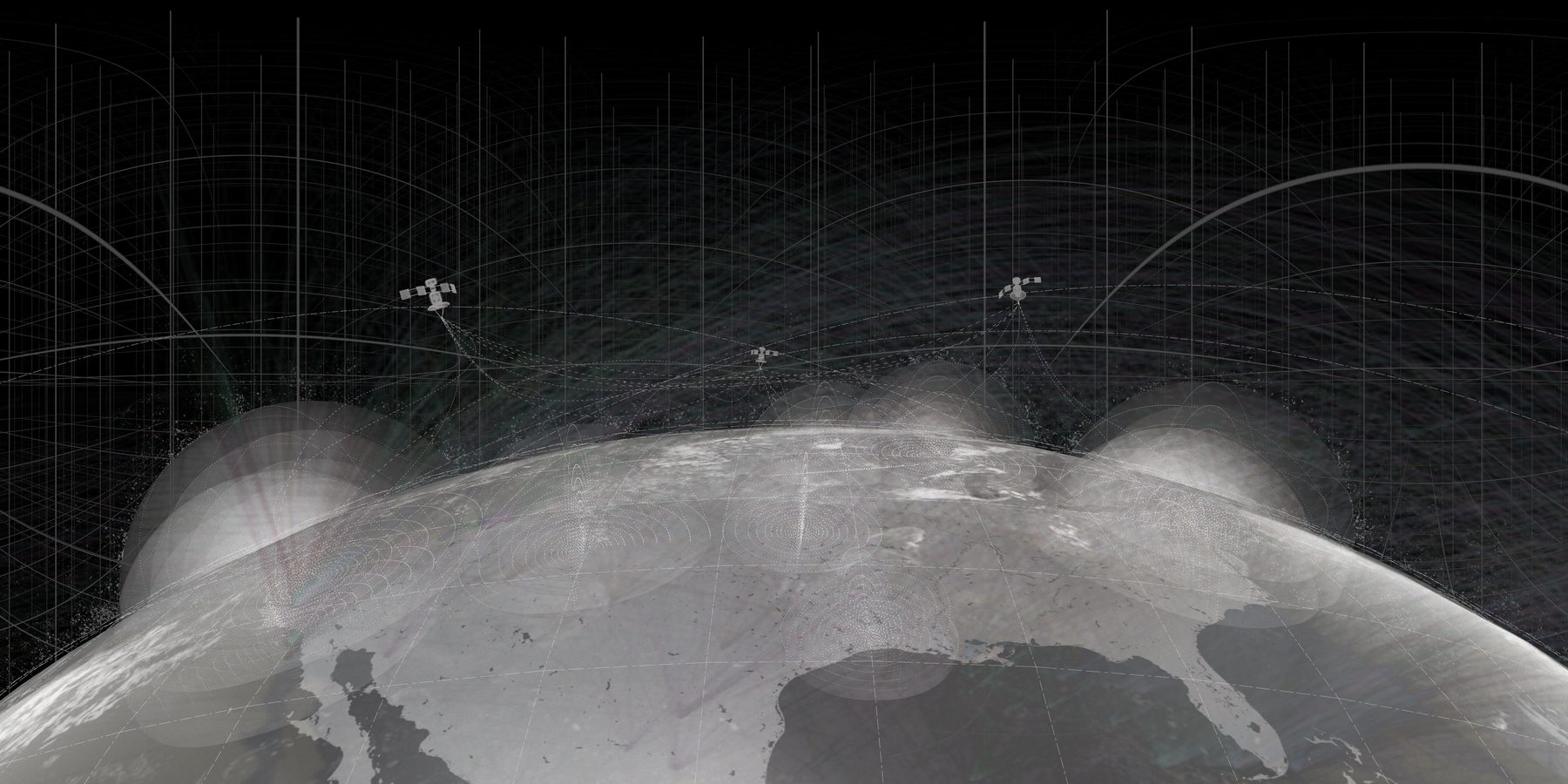
"It thus creates an invisible network that we can use, upload, and share in this collective digital landscape — and raises new questions about how we understand and interact with the actual space and place with these digital mapping tools."
— Author's note, thesis script.
One question follows from the diagram. Where do these scales of information come from, and how do they reshape the physical world in return? A research project from the MIT Media Lab, StreetScore, collected millions of street-view images, categorised them by perceived safety, and trained an algorithm to recommend "safer" routes through a neighbourhood.2 The mapping tool is no longer a passive depiction; it has become an active agent guiding our decisions in the physical world. The frame and the territory, in Borges's sense, have switched places.3
A second issue is that the tool offers too much visual information. The user interface presents an objective map, transit lines, satellite imagery, and street view all at once. A search collapses tons of images into the few seconds it takes to decide where to go.
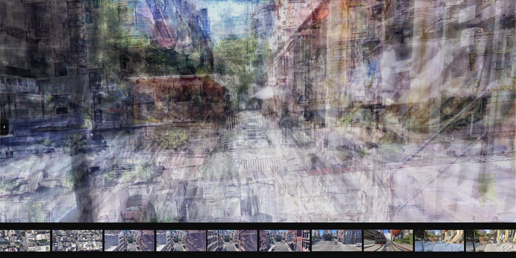
Fig. 2 Ten screenshots from Google Maps in the SOHO area, ranging from the objective satellite imagery (~200 m above ground) down to street view at the human eye. The distance between the first and the last is two hundred meters; the time taken to fly between them is half a second.
"Technology liberates us from the constraints of space-and-time scales — and that liberation is its own paradox. With a swift transition between scales and an overwhelming influx of visual information, people may lose the ability to truly recognise the elements of a place."
— Author's note, thesis script.
Sensorial Exploration — Beyond the Visual
If Google Maps is a kind of tour guide, it is a difficult one to argue with. It is so confident, so well-illustrated, so quick to recommend that it crowds out the slower work of finding a place that genuinely belongs to us. The proposal here is not to abandon the tool but to add another layer to it — a layer composed of the sensory inputs visual mapping consistently neglects: sound, smell, the temperature of a doorway, the unspoken gaze of a passer-by.
These inputs are more primitive than vision and, perhaps for that reason, more readily attached to memory. They are also the inputs that, when carefully filtered, allow a space to ripen into a place.
"Selective neglect of certain real-world information acts as multi-layered filters. These filters help us discern and prioritise the essential sensorial elements within our environment, guiding us toward a deeper understanding of what resonates with us on a sensory level."
— Author's note, thesis script.
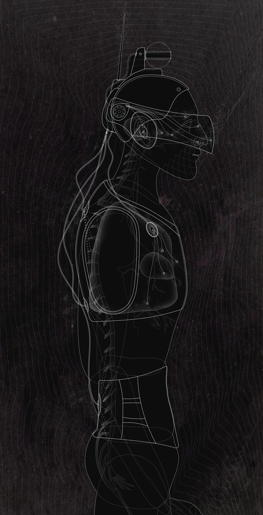
Syntheti-scape — The Second Skin
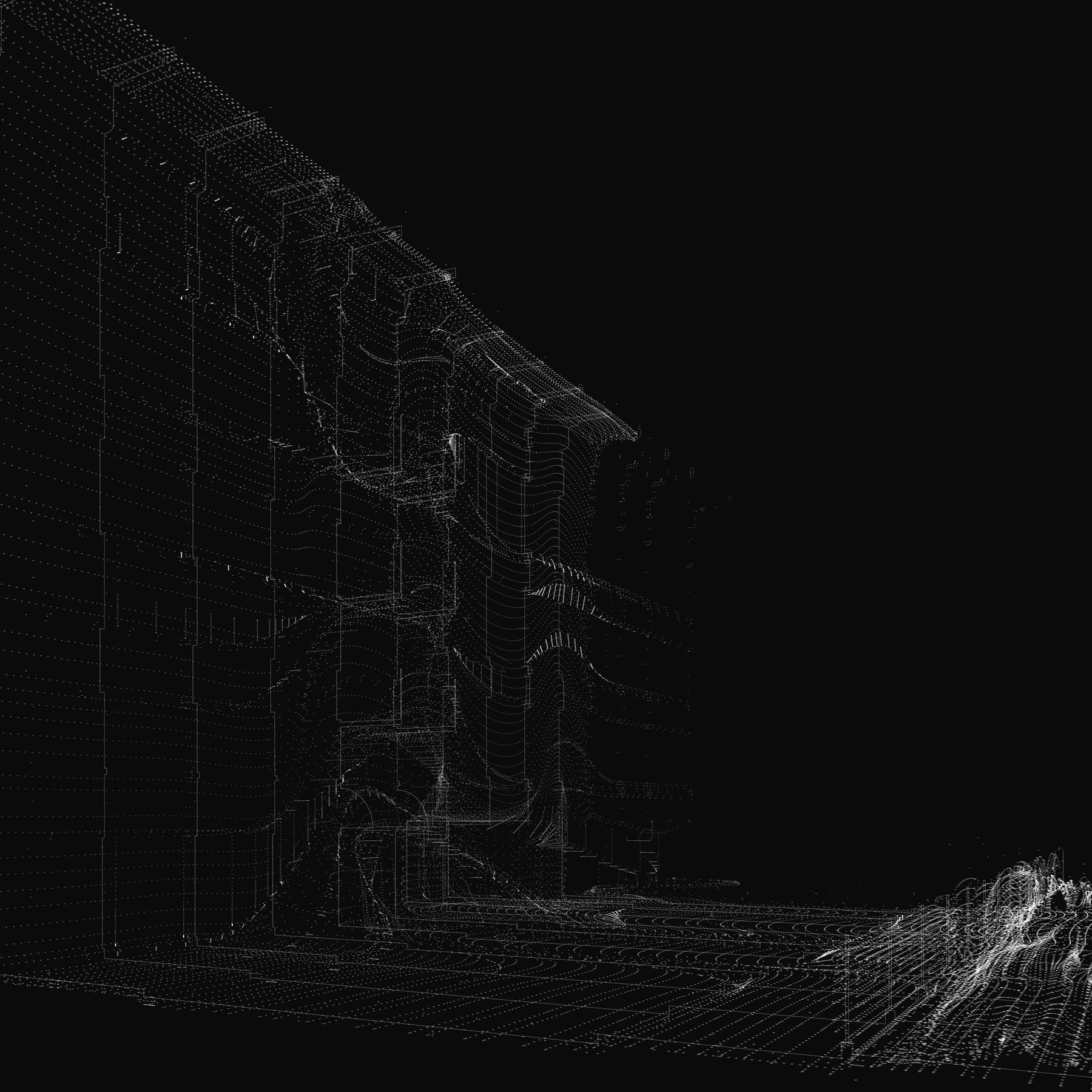
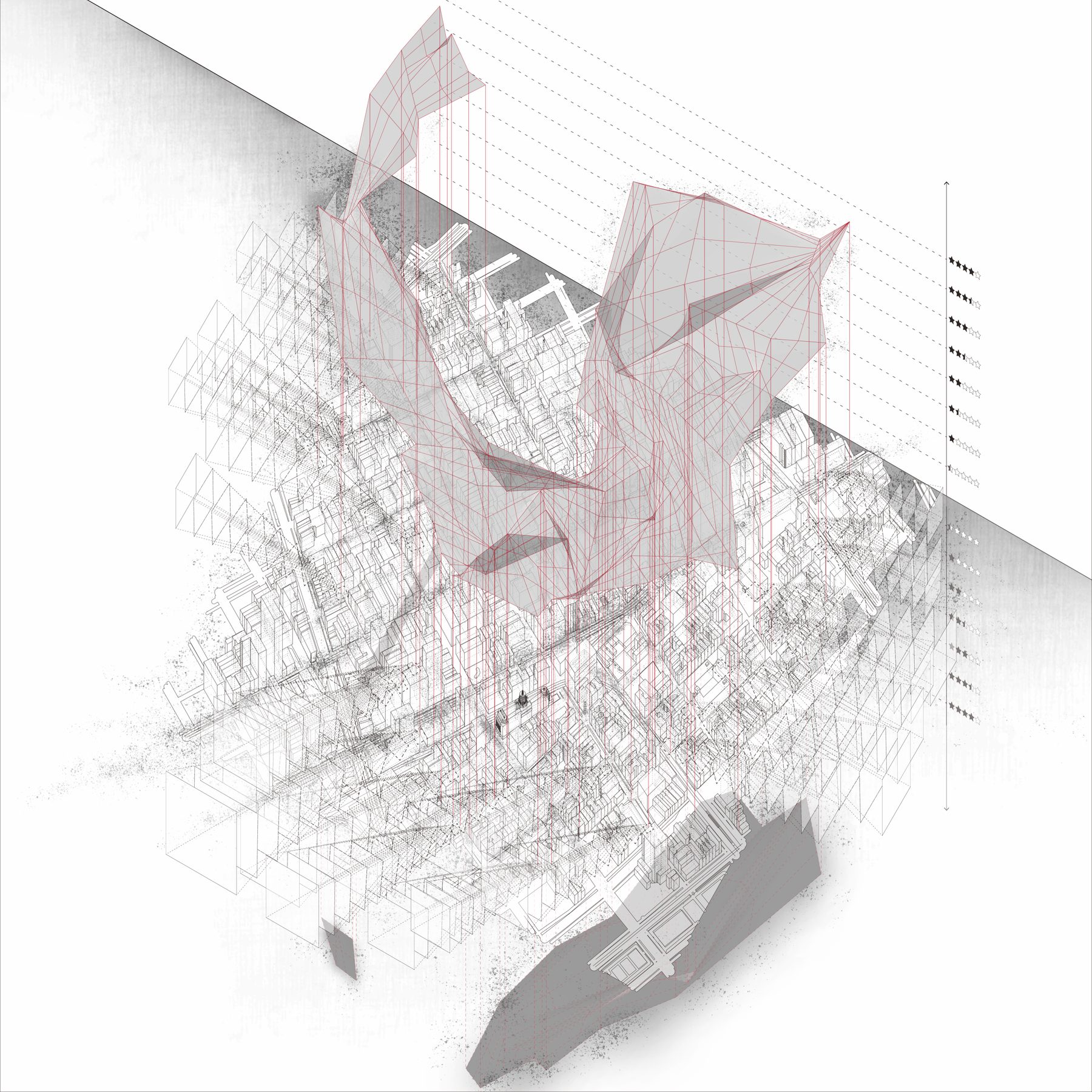
The proposal is a wearable: a second skin that intimately captures the body's sensorial responses — heartbeats, blink frequency, breath rate — and registers them against the visual, sonic, and olfactory environment they react to. Unlike LIDAR or photogrammetry, both of which strive for accurate visual reconstruction, this device registers attention. Its outputs are not a model of the city but a model of how this body, on this walk, was moved.
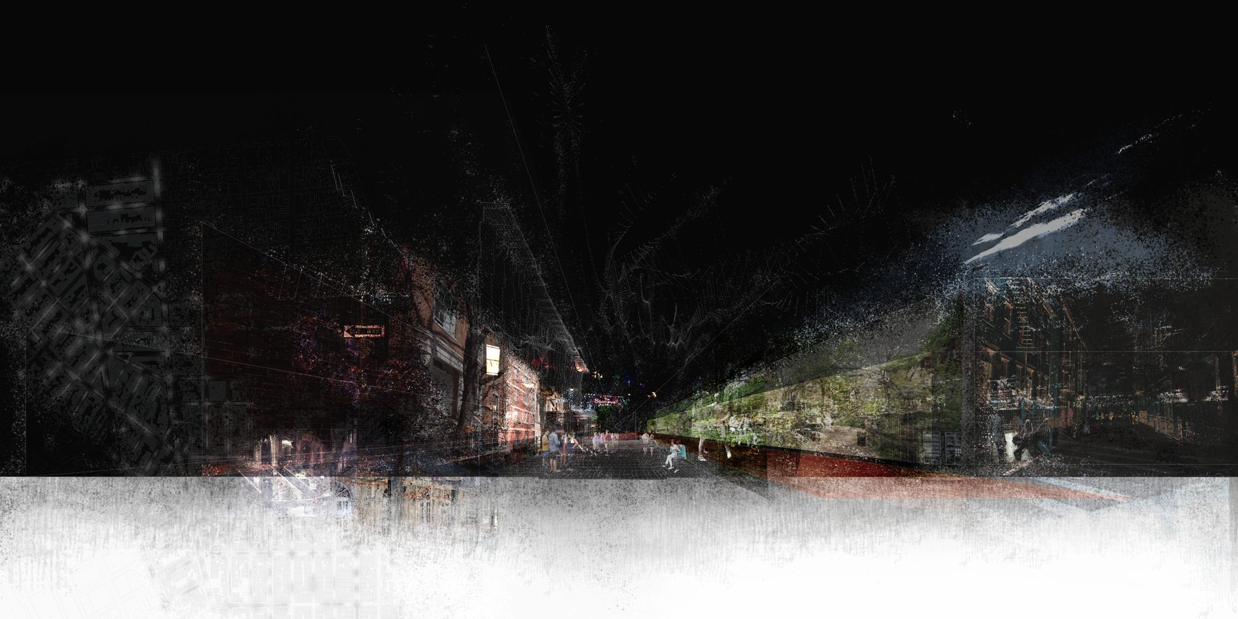
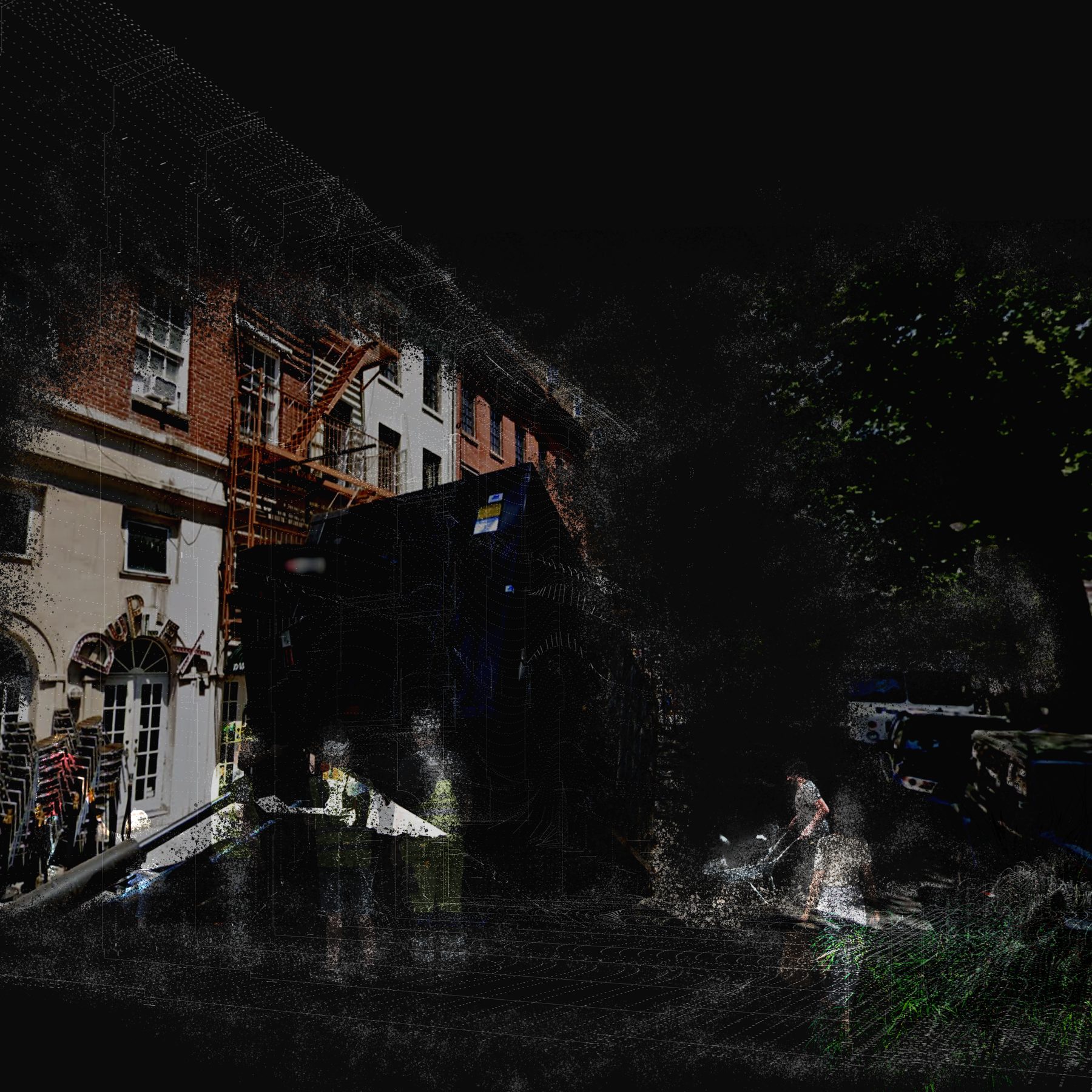
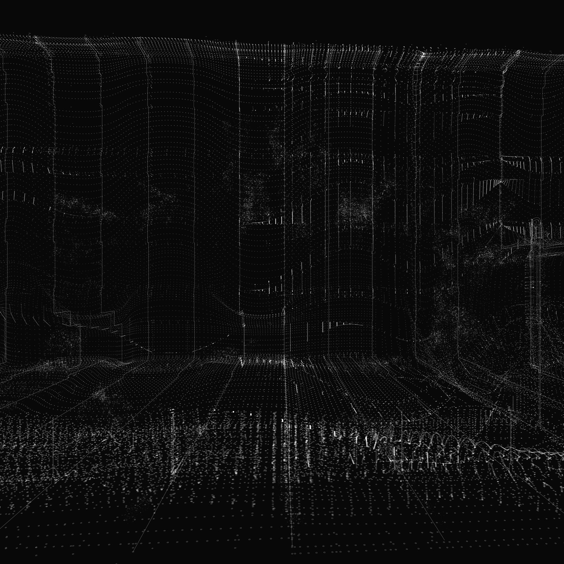
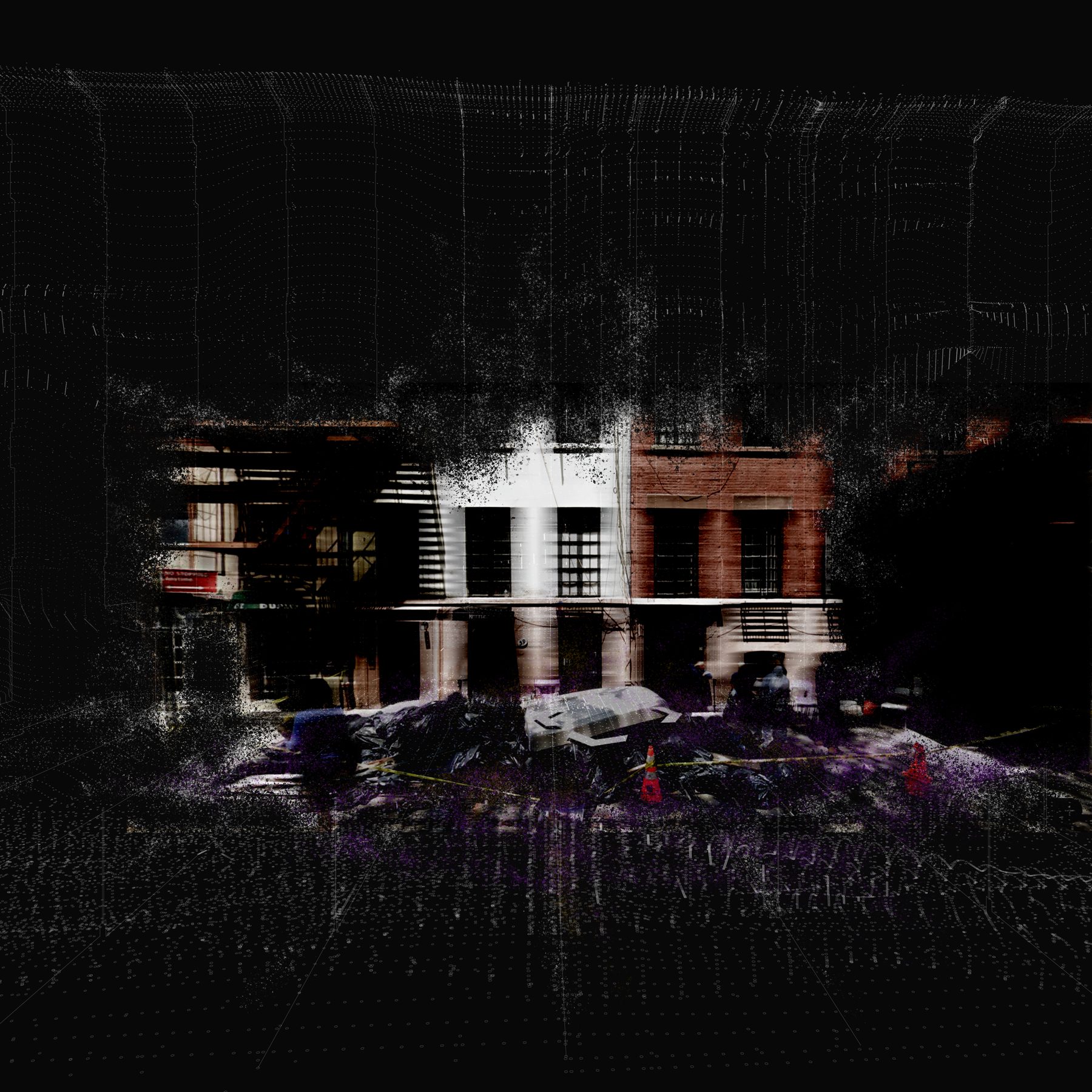
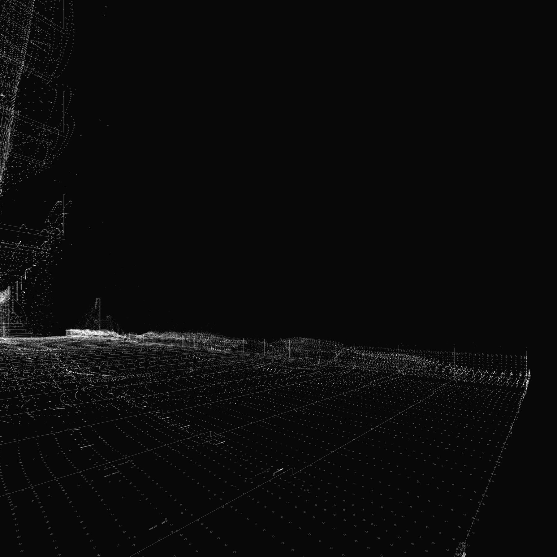
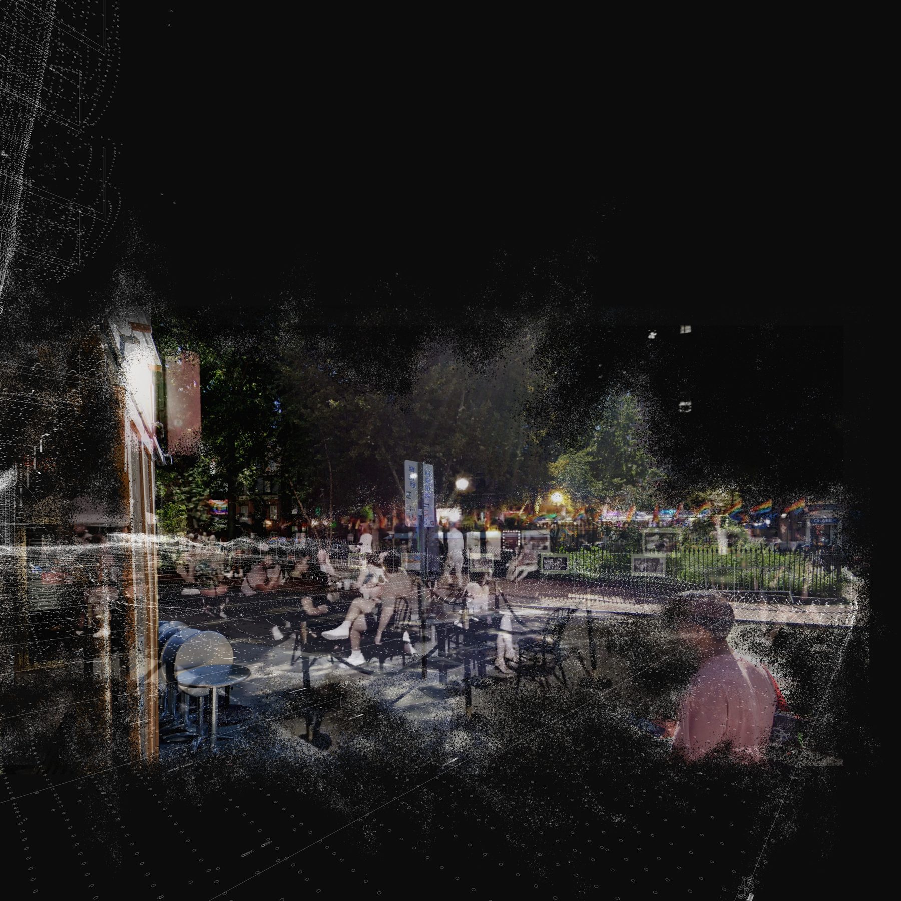
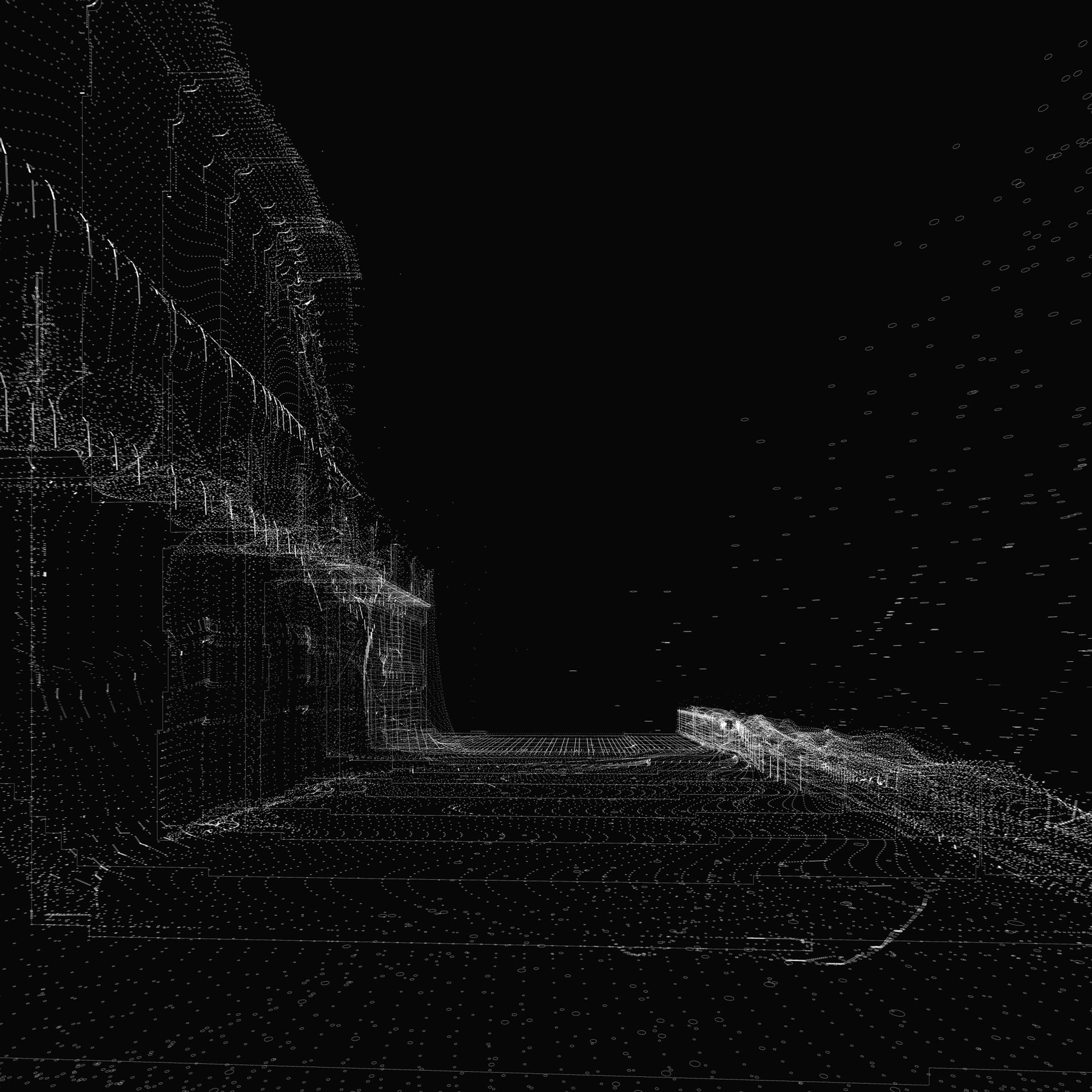
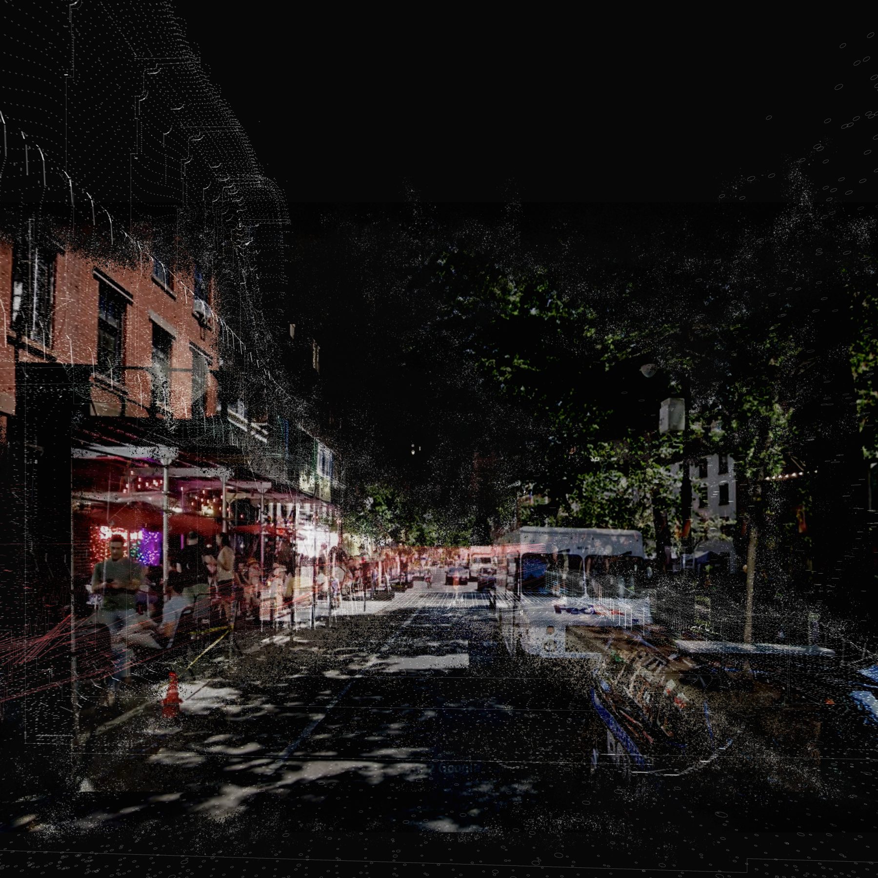
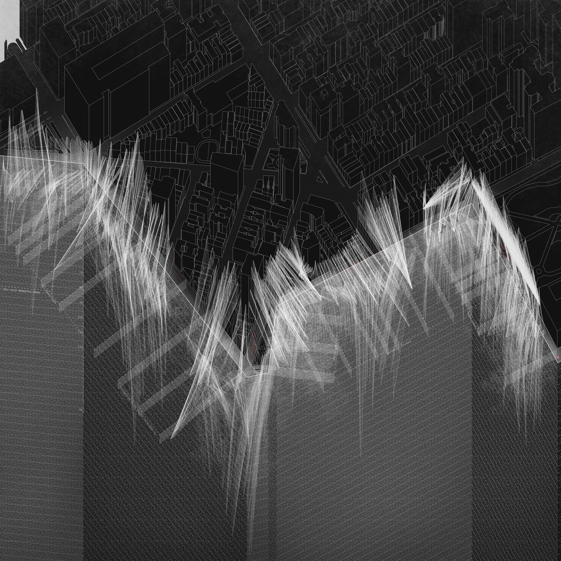
Fig. 5 Animation 000 — a walking sequence rendered as the second skin would see it. Layers of point cloud, photographic residue, and pulse data accrete into a Syntheti-scape.
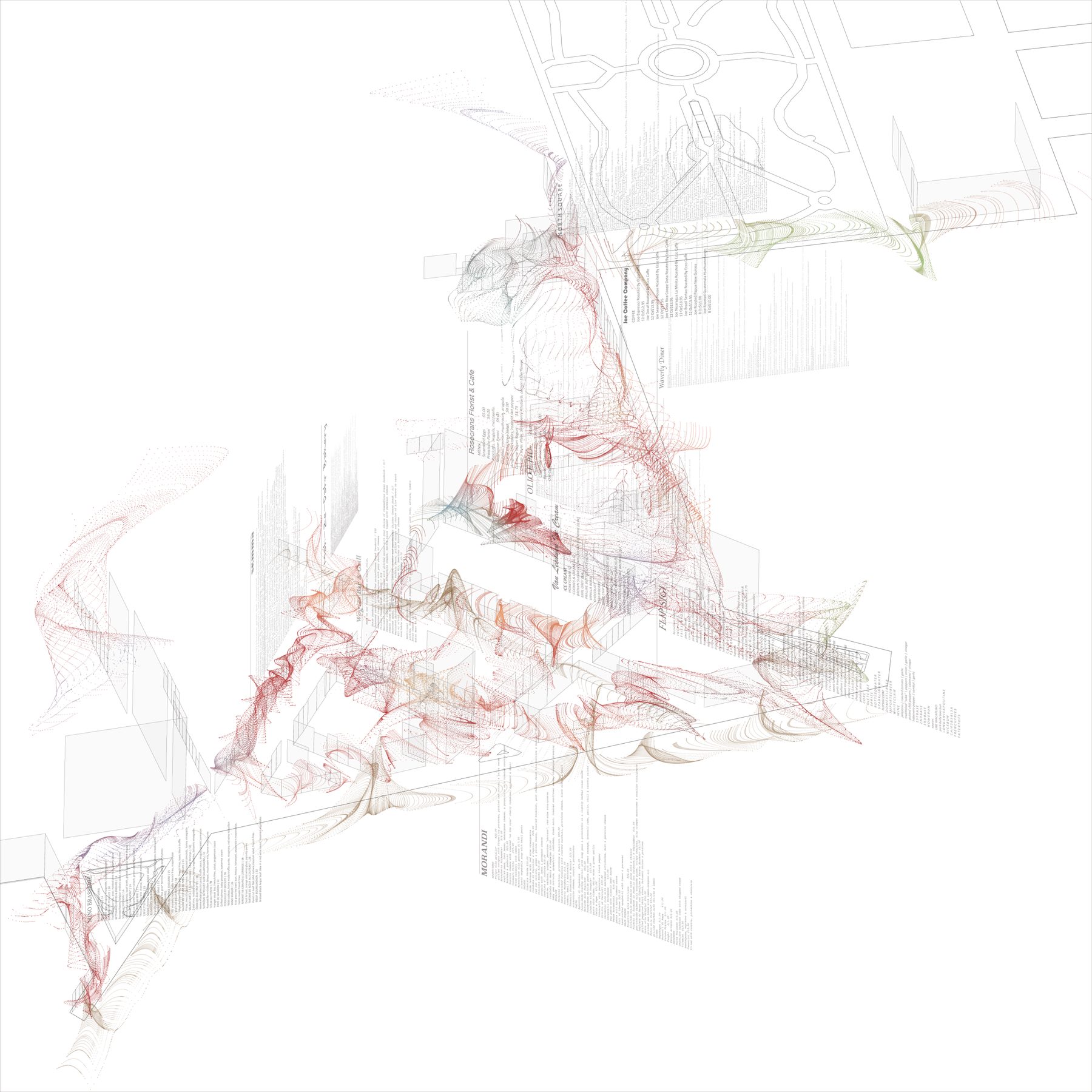
The device produces three coupled traces along a route: a photographic strip, a sound wave, and a graph of ambient light and shade — each corrected against the body's response. Read together, they are a sensorial timeline, a kind of electrocardiogram of the walk.
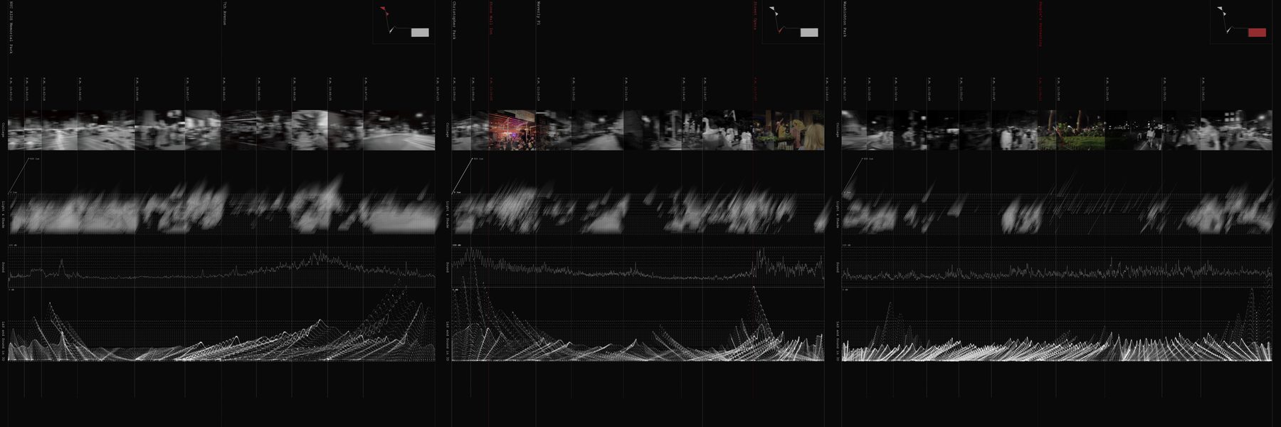
Fig. 8 Three coupled traces along a single route through SOHO: photographic residue (top), ambient sound (middle), and a graph of light, shade, and the body's response (bottom). Vertical red marks are sites of attention.
"This device seeks to amplify our awareness of the senses that reflect our interaction with space, and to turn a space into a place we can claim as our own — one that holds our emotions, memories, and meanings."
— Author's note, thesis script.
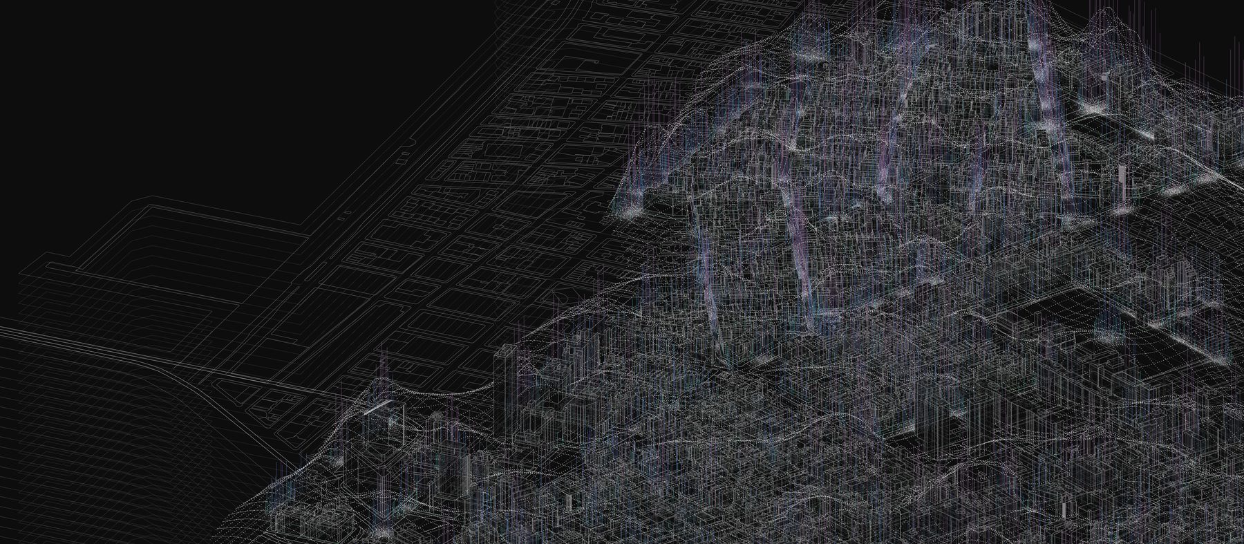
Plates — Mediated Scapes
Each plate is a two-layered construction. The base layer is a 3D point cloud captured from the device — the city as data. A glossyfilm overlay binds data and image together — the synthesised place. In the original, both were printed on different surfaces and laid one on top of the other.
Hover a plate to reveal the glossyfilm overlay. Click Zoom for the high-resolution print.
Footnotes
- Yi-Fu Tuan, Space and Place: The Perspective of Experience (Minneapolis: University of Minnesota Press, 1977).
- Nikhil Naik, Jade Philipoom, Ramesh Raskar, and César Hidalgo, StreetScore — Predicting the Perceived Safety of One Million Streetscapes, MIT Media Lab, 2014.
- Jorge Luis Borges, "On Exactitude in Science," in Collected Fictions, trans. Andrew Hurley (New York: Penguin, 1998).
- Final review presentation, MScArch Thesis, The Cooper Union, 12 December 2023.